
Attempting Tranter’s Round, a 24-hour mountain running challenge in Scotland
A resource with an account, photos and logistical information for people interested in Tranter’s Round, a 24-hour mountain running challenge to complete 18 Munros (Scottish mountains over 3,000ft high) above Glen Nevis in the West Highlands of Scotland. It includes the story of two failed attempts a friend and I have made so far along with a complete round, but which wasn’t within 24 hours.

Devil’s Ridge on Sgurr a’Mhaim in the Mamores
“Compared with all the huge routes and records that have been taken on and achieved by many people [during the Coronavirus lockdown], Tranter’s Round is quite modest. But it was a big deal for me and the perfect test of my new found running legs”
I can’t recall the first time I was aware of Tranter’s Round, nor when I became interested in accepting its challenge (which is to visit the summit of 18 Munro mountains in Scotland in a 24-hour period). It was likely around the time I first photographed sponsored mountain runners such as Salomon athlete Donnie Campbell and Arc’teryx’s Tessa Strain, or outdoor guide Paul Tattersall, all mountain athletes who make travelling quickly over rough ground seem relatively effortless. During those times, I received a sense of the pleasure that comes with moving in the hills without lots of equipment and I took inspiration from that, increasing my fitness until I was able to travel quicker over rougher terrain myself, for longer periods of time. The key attraction for me being I can join together otherwise unconnected hill-walking routes and spend more time outdoors.
Already a keen hill-walker, I wasn’t being entirely unrealistic with my ambition, which in this case was to finish Tranter’s Round in under 24 hours (or, if not, to complete the trip in a single push). I have a decent base level of fitness from many hours spinning each week and my body is used to the rigours of ascending and descending hills, having hillwalked and backpacked Scotland’s Munros and Corbetts for many of my 53 years, often for 12+ hours per day. I do also have experience of moving for much longer periods of time, such as 24 hours of alternate laps at the Strathpuffer and two consecutive 21 hour days in the Cairngorms Loop, but those efforts were on a mountain bike. Tranter’s Round is a mountain running challenge where, in a 24-hour period, you visit the summits of 18 Munros (Scottish peaks over 3,000ft high) in the Lochaber region of Scotland. I’m not however a runner. But I know my pace and, as long as I kept moving, and sustained forward motion, I felt I *should* be able to complete it in around 23h 30mins. If my feet didn’t play up — more on that later — and the fairy dust aligned.
What is Tranter’s Round?
Named after the son of the late Scottish author, Nigel Tranter, Tranter’s Round is a 24-hour mountain running challenge set for hill runners by Philip Tranter in 1964 when he connected (at the time) 19 Munros in the West Highlands of Scotland (the Mamores, Grey Corries, Aonach Mor and Aonach Beag, Carn Mor Dearg and Ben Nevis) in a 36-mile epic that covered 20,600ft of ascent. Today, Philip’s round ticks off 18 Munros (the Scottish Mountaineering Club demoted Sgurr an Iubhair in the Mamores after a re-measuring of the peak in 1997) but it still forms a challenging route over an aesthetic horseshoe of ridges and peaks that starts and finishes in Glen Nevis. From the Youth Hostel near Fort William, the route heads out of the glen onto the first Munro of the round, Mullach nan Coirean. From there, you head over Stob Ban, with two out and backs along narrow ridges to Sgurr a’Mhaim and An Gearanach, before completing all ten of the Munros in the Mamores on the 1010m high Sgurr Eilde Mor. A long grassy descent, a crossing of the Aibhainn Rath and a steep pull up to Stob Ban leads on to the Grey Corries, where you turn and head for home, with a great view in front of you as you traverse a fantastic series of ridges that culminates in the great bulk of Aonach Beag and Aonach Mor. A good choice of route is key to attaining their summits, over 4,000ft in altitude, where a steep descent and ascent to Carn Mor Dearg and an excellent traverse over its narrow, rocky arete leads you to Tranter’s Round’s final summit, Ben Nevis, the UK’s highest peak. ‘All’ that’s left is the 4,500ft descent to reach your starting point and the completion of your round.
Tranter’s Round is not an organised event. There’s no sign up or checkpoints, nor navigational aids. Neither is it a race but there is a fastest known time, of 8 hours 27 minutes 53 seconds by Fort William-based GP, Finlay Wild. This may give the impression that completing it in 24 hours is easy, more so when you understand that the route has been superseded in fell-running terms by Ramsay’s Round, named after Charlie Ramsay who lengthened the route to 24 Munros, 56 miles and 28,500ft of ascent in 1978. (The record for Ramsay’s Round is also held by Finlay Wild, who completed it in 2020 in 14hrs, 42mins, 42secs, beating the previous record of 16hrs, 12mins, 32secs which had been set in 2019 by his friend, Es Tressider). My desire to do a shorter route in 24 hours is nothing special (to anyone other than me). I’d read about people routinely doing it in under 20 hours. I have respect for anyone that can do it that quickly but when I extrapolated my times from shorter routes, I realised that they’re operating many, many (my wife recommends we should add a third many) leagues above me. It was clear that I’d be performing at my limit to finish with just 30 minutes spare. I had little margin for error or slowing down due to fatigue and it was much more likely that I’d fail to do it in 24 hours. (I did always, deep-down, have some confidence that I would finish it in one push or else I might have just as well gone camping).
-
An initial taste
In 2014, three friends and I set out on a two-day backpack of Tranter’s Round. At the time, I hadn’t any thoughts of attempting the route in one go. It wasn’t an entirely pure approach, as we ascended Mullach nan Coirean the night before to bivvy on its summit, and I missed out An Gearanach to dry out a wet sleeping bag. We also didn’t finish as we bailed off Aonach Mor in an unexpectedly cold blast of June rain, complete with hailstones, that chilled us to the bone. It did however allow me to appreciate the length of the route. Looking back, it also provided me with some good data to work from (16 hours from Mullach nan Coirean’s summit to the Aibhainn Rath), which is well behind a 24-hour time but this hadn’t been our intention.
During 2015 and 2016, I had casually pondered the 24-hour challenge, going so far as to make notes and do some detailed planning. Eventually, in January 2017, I committed and began to prepare myself for the rigours of 20,000ft ascent and descent in a single day. I started by teaching myself how to run, jogging from lamp-post to lamp-post along a cycle path as I walked the dog at night (the classic ‘couch to 5km’ approach). Benefitting from the additional fitness, I took to the Pentland Hills, a collection of grassy peaks c.500m high overlooking Edinburgh which hadn’t attracted me as a hillwalker but provided the stimulus for me to put in extra effort, as I interspersed fast walks uphill with jogging along the tops and running back towards town, initially on my own but later with a friend, Chris Hill. I really enjoyed these excursions but, throughout, I was increasingly afflicted by an acute discomfort in the soles of my feet.
My earliest recollection of foot pain when hiking was in 2011, towards the end of a 4-day backpack in the Knoydart peninsulas, when I experienced an intense burning pain in the ball of my feet. Since that trip, I’d often had pain on hill-walking trips but I did nothing about it other than blame my boots. A painful memory is on the aforementioned backpack of Tranter’s Round where, at the end of our first day, the balls of my feet were so tender, I recall crying out when I put weight on them as we crossed the waters of the Aibhainn Rath barefoot to spend the night at Meanach bothy. The crux however was when I was photographing Donnie Campbell on a Ramsay’s Round attempt in December 2016. Donnie was successful (setting a new record time for Ramsay’s Round in the winter season) but the pain I experienced as I descended Ben Nevis was, frankly, awful. In 2017, after multiple visits to a podiatrist, I was referred to a surgeon who diagnosed Metatarsalgia in both feet plus multiple Morton’s Neuromas, an affliction that I learned is commonly found in females who wear too-tight high-heel shoes. (At the time, I was on my sixth pair of La Sportiva approach shoes, which have a narrow toe box and perhaps this, plus repeatedly strapping my feet tightly into cycle pedal straps, pre-cleats, whilst spinning multiple times a week, could have been a contributing factor).
My foot pain manifests itself in two very specific ways. Metatarsalgia starts with a thickness in the ball of my foot, like I’m standing upon a CR2032 battery that’s embedded under the skin. This radiates a nerve-like pain that eventually travels across the soft parts of my feet that ramps up, remarkably so when I clench my toes (at one point I thought the pain was from a large blister deep under the callused skin but I have it when there’s no blister as well). It’s always highly painful at the time - like I’m walking on deeply swollen feet - and, at it’s worst, I’m left feeling for days afterwards like someone has been beating the soles of my feet with a club. Separate to this is Morton’s Neuroma, which starts off with the sensation of a broken almond shell or a pea embedded within the sole of my foot, behind my outer two toes. The nerve eventually gets aggravated and the pain grows, manifesting itself in a manner similar I’d propose to someone biting my toes or periodically squeezing them with a pair of pliers. Both I’d estimate it as around four or five on the comparative pain scale (if you applied that to hill-walking) and a six on my descent from Ben Nevis. Which I appreciate could be extremely worse but it always fosters unpleasant thoughts, especially when I am many miles away and thousands of feet above my starting point.
Postponed, first for injury then due to Coronavirus
From a podiatry perspective, my understanding is there’s four approaches to foot pain. Stop what causes the problem and rest. Orthotics or cortisone steroids and, if that fails, an option for surgery. I didn’t see the benefits of rest (the issue came back repeatedly in 2017, despite many breaks) and orthotics didn’t make any difference. Steroid injections thankfully fixed one foot but not the other and eventually the surgeon’s advice was to operate and he explained a procedure where he would saw through bones in my right foot using a minimally invasive procedure and reset the bones so they were lifted off the neuromas and I wouldn’t experience as much pain. Which sounded extreme but it was an approach the surgeon explained had a high rate of effectiveness and, very keen to be pain-free, I accepted his recommendation. Thankfully, in general, the operation, in March 2018, was a success and almost exactly twelve months later, after a few months delay with what I was initially afraid was a Lisfranc injury (when I returned too soon and damaged my foot descending Bidean nam Bian in Glen Coe), I was back jogging in the Pentlands with no torment other than that caused by a lack of fitness.
By Autumn 2019, my foot felt strong again, as did my legs. Buoyed by a 16-hour day ticking off nine Munros on the north side of Glen Shiel, I was confident I could cope with the rigours of Tranter’s Round. During our trips to the Pentland Hills, my friend Chris had indicated he’d like to join me and we had made plans to continue our training over the Winter and schedule an attempt for May 2020. (Summer 2019 was out as I don’t have much desire to be exerting myself on the hills when it’s warm — plus, eurgh, midges — and I was away that Autumn). I also really don’t operate well in the heat and my preference was to do it on a nice Spring day when there is cool temperatures and a full moon. The additional darkness didn’t concern me as nearly all my training in the Pentlands had been done at night, aided by a great head-torch, Petzl’s Nao+).
Chris and I’s plans for numerous joint training sessions in 2019/20 were unfortunately scuppered when it was Chris this time who needed a break for surgery, the result of a meniscal tear to his knee during the previous year’s Glen Coe marathon. I spent the Winter plodding around the Pentlands, sometimes with friends and often on my own, following an 18km route twice a week with 800m ascent. These excursions I topped up with lots of spinning plus jogging on the streets (totally not enjoyable) and some day trips hiking on Scotland’s Munros (very enjoyable, a memorable day earlier in the year being the completion in a day of all five Glen Etive Munros, which involved 32km and 8,500ft ascent). Unfortunately, as the training progressed, I started to again experience foot pain. My right foot (the one I’d had surgery on) had been fine all year wearing trainers but in bigger boots, on bigger hills, it began to flare up, especially in the ball of my foot and I was again experiencing lots of discomfort. Trying not to be too negative (but often failing), I planned another visit to the surgeon, who indicated over email that a further steroid injection might help.
2020 you’ll likely recall was the year of Coronavirus. My visit to the hospital for a steroid injection was cancelled, as was any hill exercise at all. Eventually though, I was able to get back out on the hills and if there was any positives from the Government-enforced lock-down (achingly, during the most extended period of glorious weather I’ve seen for years), it was a reinforced desire to take opportunities whilst I can. 2021 will be my 50th birthday and, although I’m fitter than I’ve ever been, running (which for me means mostly downhill) has to be somewhat destructive on my joints and I’d like to protect them so I can keep hillwalking into an old age. Tranter’s Round however was an itch I felt I really had to scratch (along with two others I have, which is to attempt the Highland 550 Trail and to cycle the West Highland Way in one go). My goal during Coronavirus therefore was to maintain my fitness as much as possible. Chris and I made a commitment that we’d make an attempt on Philip Tranter’s route as soon as lockdown was over and we were back to hill fitness.
Finally some proper preparation
Whilst researching the internet for tips on preparing for the Bob Graham Round (Charlie Ramsay’s Round’s English equivalent and the 24-hour round in the UK with the most amount of information online — Paddy Buckley’s round makes up the trio for Wales), I’d read that my focus should be on height rather than distance in training, aiming for 10,000ft per week. Long days hillwalking is perhaps the ideal preparation for something like Tranter’s Round, multiple hours on your feet I’m confident being key, and I added a few Munros to my tally (reaching the 200 mark), along with some new Corbetts. The Pentland Hills however were Chris and I’s main training ground and we repeatedly traversed a route from Flotterstone to the drove road west of West Kip, out and back, twice and sometimes three times a week, traversing twelve summits over a 15km distance with 1200m (3,900ft) ascent, which we interspersed occasionally with a trot around the Pentlands Skyline race route (an entertaining 16-mile, 6,200ft route which we definitely should have taken more advantage of).
An initial plan we had to do the route in September 2020 was postponed when a unseasonable weather forecast indicated cold rain, strong winds and below freezing temperatures due to the windchill. I appreciated the weather would never be perfect but we did want to stack the odds in our favour so we changed our approach and instead of booking ahead (we’d planned to stay in the Glen Nevis campsite) we agreed we would just keep an eye on the weather and if we had two good days forecast in October, we’d go at short notice. I’ve found this to be a much more effective approach for visiting Scotland’s hills, having spent many days over the years out in terrible weather for no real reason other than “we said we were going out”. The downside on this occasion though was the additional darkness, which in October lasts from 6.30pm until 7.00am following morning. It was all a moot point however when COVID restrictions once again kicked in and we were left contemplating when we could make an attempt in 2021.
-
In June 2021, we finally stopped talking about Tranter’s Round and headed north to Fort William. The weather was almost perfect with cool temperatures forecast (seven degrees Celsius at 900m during the day and five degrees Celsius overnight) with light cloud cover and a gentle breeze. Aesthetically, I’d wanted to attempt the route clockwise but we weren’t too keen about traversing An Garbhanach in the Mamores in the dark so we headed in the traditional direction and climbed Mullach na Coirean first. The first hill of the day for me is always the hardest as my body temperature takes time to settle as I transition from being fairly sedentary to hoofing up a hill. As usual, I began my ascent sweating hard and I had to put much greater of an effort into things than I expected, as I attempted to keep up with Chris, plus a quartet of lads in their twenties who, even though they were carrying big backpacks with sleeping gear, raced off very easily up the hill. A positive was it meant we reached our first summit in 2h30mins, one hour ahead of plan (we had based our timings on Naismith’s calculations) but it was clear that, despite having rested for a week, I wasn’t comfortable with the quick pace up the first hill (which in my defence is 900m ascent) and I was conscious that my pack was overly heavy.
Despite the six years thought I’d put into it, the majority of my time in the final weeks and days running up to our Tranter’s Round attempt I’d spent planning and re-planning. Much more than I care to admit. Frequently, I’d add items of clothing, equipment and food to a checklist I’d prepared and then remove them, and then I’d repeat the exercise until I felt I was happy. I’d then repeat that exercise over the following days. I’ve always been of the mind that you should carry enough clothing and equipment to last the night, if required, as well as an appropriate first-aid kit plus plenty of food but all additional weight slows you down and, with speed being key, and no support on our attempt, the challenge for me was to take as little as possible whilst remaining comfortable I’d stay safe. I run very hot so I wear the minimum amount of clothing whilst I’m moving, which means taking enough protective gear so I’d be warm for the worst conditions when stationary (but not taking so much it that I’d be overly comfortable and it slowed us down). I eventually ended up with what I felt was an appropriate balance (but which turned out to be entirely inappropriate), which gave me a total weight of 7kg, including food and water. This is somewhat light for hillwalking but still fairly heavy if you are trying to move quickly. (I recall reading somewhere the big difference that each extra kilogram added to someone else’s ascent times).
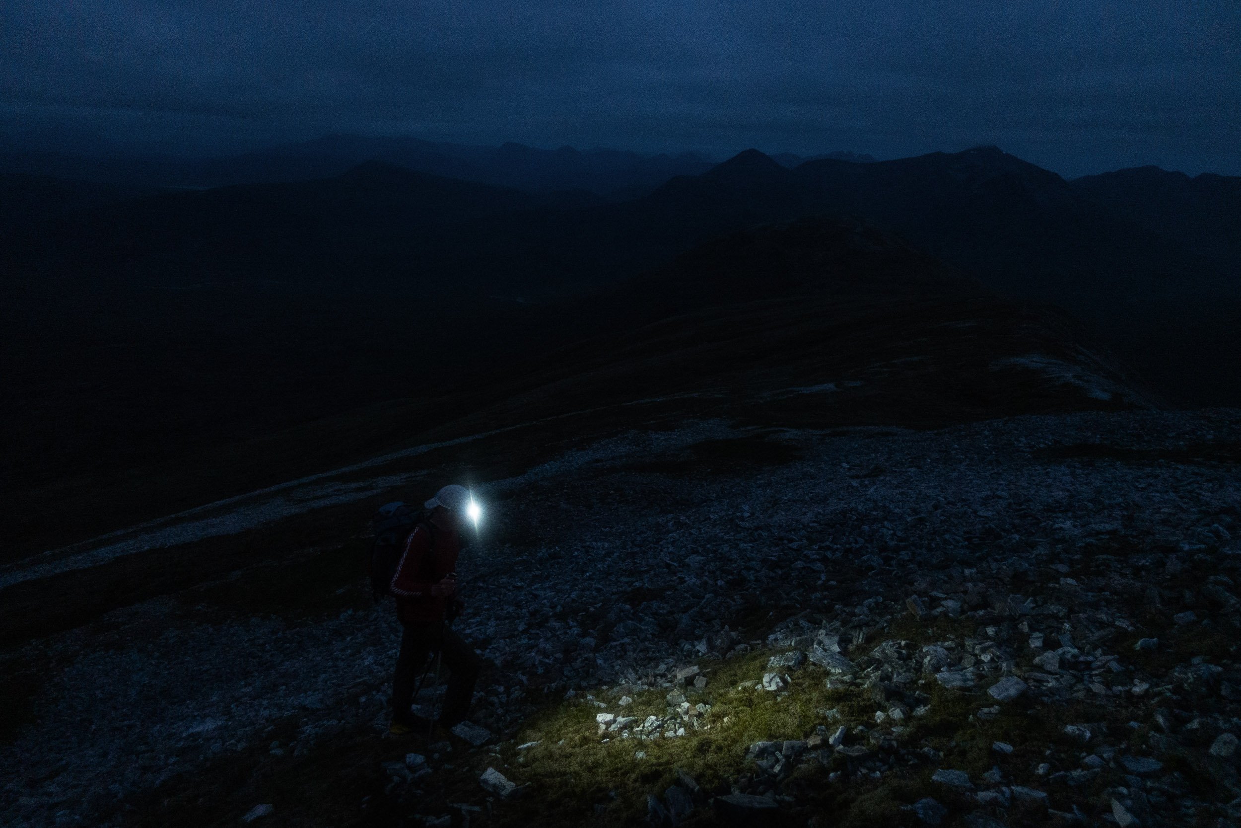
We touched the cairn at the summit of Mullach nan Coirean as soon as we arrived and left straightaway for the second peak, Stob Ban. I was looking forward to getting into a rhythm as I cooled down and started to enjoy myself but unfortunately it never materialised - the day proved much hotter than forecast and I spent the majority of the day feeling nauseous (foolishly, I didn’t put on any sunscreen - in my recollection there was minimum bare sun - and I ended up with first degree burns on my arms and neck, both of which are still a deep red colour one week later). This queasy feeling impacted on my desire to take on food and water - and likely affected Chris’ mental well-being as I walked behind him burping all day - and I only consumed 2400 calories of the 9000 calories I carried with me.
Despite never setting out to do so, I appear to be able to keep moving and not bonk despite not taking in lots of solid food. I was confident therefore in my ability to keep moving somewhat efficiently over the hills, even if there was no running. The two Munros at either end of the Ring of Steall, Sgurr a’Mhaim and An Gearanach were fun (if farther apart than I recollected), the loose descent from Am Bodach interesting (Stob Coire a’Chairn not so much) and, after an enjoyable scramble, we were back at the bealach beneath An Garbhanach at 5.00pm, after summiting An Gearanach still one hour ahead of our 24-hour schedule. A stop here for water however, plus conversations with others, ate into our programme and by the time we’d ticked off the somewhat interminable ascent of Na Gruagaichean, traversed the fine ridge to Binnein Mor and negotiated the steep descent to Binnein Beag (where we had another lengthy stop), we were at the summit of Sgurr Eilde Mor at 11.30pm, now 30 minutes behind schedule, but with ten of the eighteen Munros in the bag.
Chris had displayed strength all day and I had perked up after our breaks, and in the cool of the evening, the ascents of Binnein Beag and Sgurr Eilde Mor were hugely enjoyable. The hills of Lochaber at dusk in Summer are a fine place to be and our descent from the summit of Sgurr Eilde Mor to the Aibhainn Rath, on soft grass, was a joy, at least to begin with (there was nothing wrong with it, it just seemed to go on for ages, and the temperature appeared to increase again after we’d donned our head torches on the way down). The waters of the Aibhainn Rath, although low, mandated wet feet but once crossed we stood confidently at the foot of Meall a’Bhuirich, facing the 600m ascent to the Munro, Stob Ban, the first of the Grey Corries, but not nearly the highest.
I’ve ascended the steep slopes of Meall a’Bhuirich before, back in 2014 when we scaled its eastern flanks from Meanach bothy and again in 2012 up its western flanks in Coire Rath on a winter backpack. I’ve also descended from the summit of Meall a’Bhuirich to Meanach bothy one year when the weather put a friend and I off a traverse of the Grey Corries. Because of the effort involved, I wouldn’t say it’s my favourite hill and my ascent with Chris reinforced that opinion as we followed Finlay Wild’s .gpx track directly up its abrupt southern flank and crossed the bealach in the dark to reach the summit of Stob Ban.
It was 3.00am and we were now 60 minutes behind a 24-hour finish. I wasn’t overly concerned, my minimum benchmark for success being we complete the route in a single push, but I was getting tired. Feeling hot and queasy all day had been a grind and, outwardly, I groaned as I recalled the effort in our ascent to Stob Ban, as I knew we needed the same to get us to to the summit of Stob Choire Claurigh. My hopes were pinned however on this peak perking me up as there was a lot of light - we were close to the Summer solstice - and the summit’s got such an amazing view, with the rocky Grey Corries ridge snaking away aesthetically into the distance and the Aonachs and Ben Nevis on the horizon. We’d also be heading home and I was confident this would offer some psychological benefit for my wearying mind.
Our pressing need was to get some water. There’s a lochan at the bealach beneath Stob Ban, which I know from past experience is usually stagnant and filled with tadpoles but there’s a stream on the Coire Rath side and we planned to use this to keep us hydrated along the ridge. My mind had already wandered to the idea of stopping again for a short break (for no real reason, other than to put off the next 380m ascent) when Chris, without notice, abruptly announced he was done. A pain in his knee, not new as it had caused some curtailing of activity whilst we were training in the Pentlands, had been causing him some discomfort during the last few hours and had quickly ramped up to a level that was intolerable. I’d no idea - stoically, he’d not said - but the descent from the summit of Stob Ban, basically a big pile of loose scree, had exacerbated it very quickly to a level where he could only hop down the hill in great discomfort. A quick conversation ensued and we agreed to descend to the bealach and decide what to do next.
It’s not hard to stop an outing when a friend is in pain (especially when you’re also really tired) and when we weighed up our options it suggested going higher up would simply make it more difficult to come back down. We promptly called it a day and, despite my announcement that it would be a “one and I’m done”, agreed a few days later that we’d return and try again.
-
A common phrase when you fail at an endurance challenge appears to be that ‘the wheels came off the bus’. In my case I’d suggest it’s the opposite. In terms of achieving Tranter’s Round, my legs (i.e. the wheels) appear to be fine but the bus itself (my body) doesn’t appear to be able to keep up. Round two therefore unfortunately ended after an almost identical ascent/distance as our first attempt, entirely on my request this time, after a repeat of the sickness feeling all day (which I’ve narrowed down to drinking my calories instead of eating them, and therefore piling litres of slightly salty water onto an empty stomach), plus general fatigue from the intense sunshine and an injured foot (not neuroma-related but macerated skin I didn’t treat early enough which tore and turned into a full wound).
We chose for our second attempt to go clockwise, starting with an ascent of Ben Nevis. The forecast was 24 degrees Celsius in Fort William, decreasing to 21 degrees around the summits. After an eight-hour day in the Pentlands the previous week in similar heat I was confident I could deal with it, as long as I had enough water, and I added in an extra water bladder so I had the capacity to carry 2.5 litres between water points. My pack weight was therefore heavier (c.8kg including water) and I still anticipated very little running.
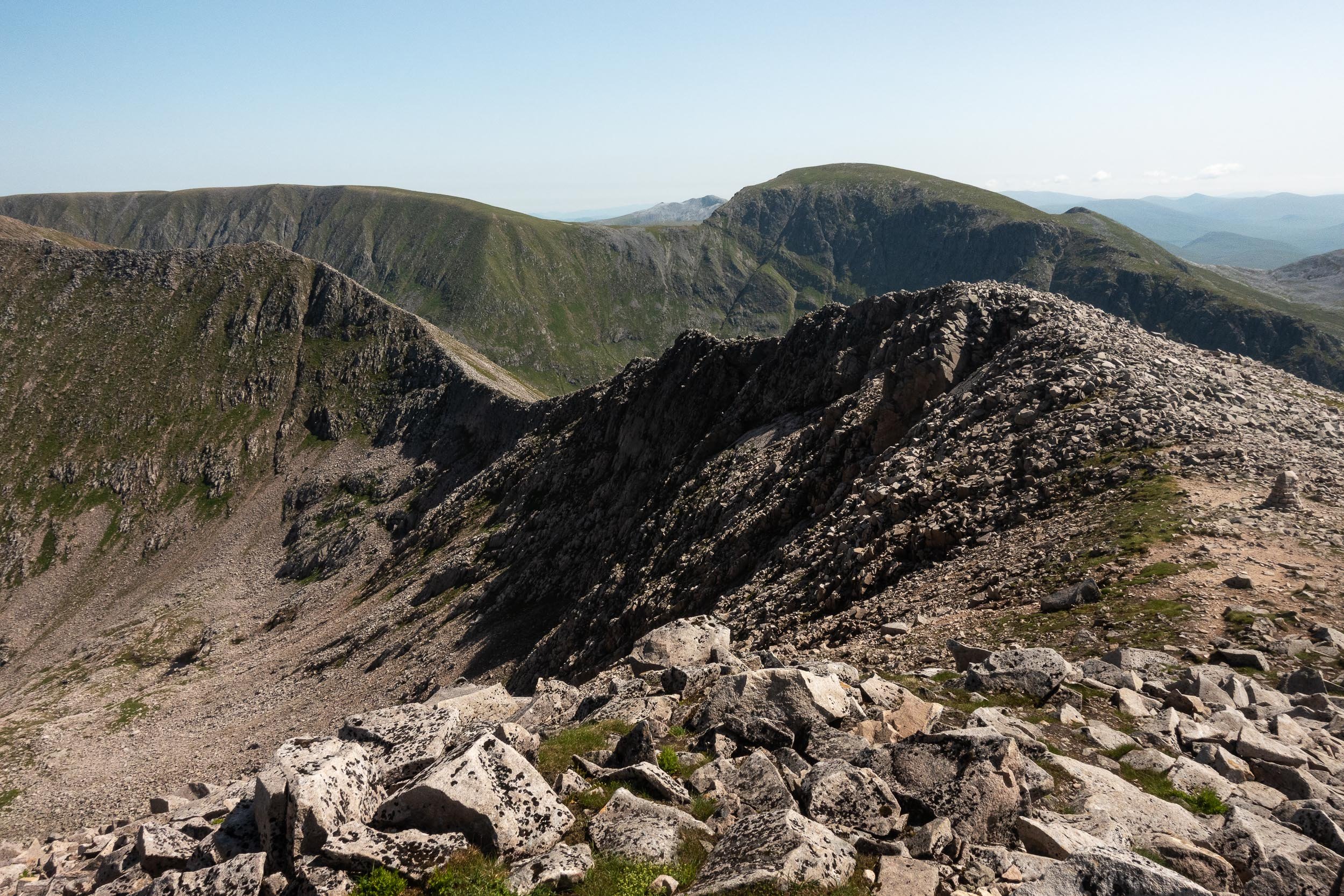
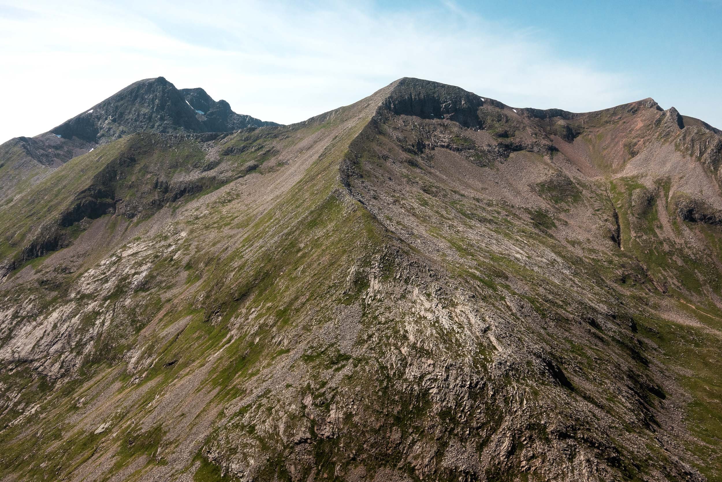
After long denigrating the ‘pony track’ on Ben Nevis, preferring the view of the north face that’s offered on other routes up the mountain, I found I really enjoyed it and it made for an efficient ascent of the peak in 2.5 hours, an hour under our schedule. The morning however was super hot, with no wind. A single patch of snow higher up was a godsend and I packed the snow under my hat and tried to keep cool as we ascended to the summit. Despite being midweek, the top of Ben Nevis was super busy but after we left the summit and descended towards Carn Mor Dearg, the numbers dwindled, to just a few on the fun, blocky arête. By the time we descended the east ridge of Carn Mor Dearg to the bealach above Coire Guibhsachan we were entirely on our own.
Our ascent to Aonach Mor from the bealach was a steep grind in the heat and our slow going, along with our choice to scramble along the Carn Mor Dearg arête, rather than take the bypass path, cost us time. There’s much easier ground out and back to Aonach Mor summit and on to Aonach Beag and we did try running for a while but it didn’t last long. Aonach Beag summit however and the descent to Stob Coire Bhealaich (aka Stob Coire a’ Chul Choire) lifted both of our spirits. It was simply glorious. The views were excellent and the feeling of adventure was still high.
There are three common routes between Aonach Beag and the Grey Corries. I had done two of them in ascent, heading west, one of which is termed in the mountain running world as ‘Spinks Ridge’, after Nicky Spinks, a Cumbrian farmer who’s completed a double Ramsay Round, and the other was the original Charlie Ramsay line, which involves a very steep exit/entrance on bare scree into a gully topped by a large rock overhang. A quick glance at both routes made us decide to choose the third option, which is an easy traverse from the col at GR205704 over to the grassy slope that’s beneath the rock overhang. It’s likely the slowest route but it facilitates an easy detour for water and I’d do the same again.
The Grey Corries are an amazing place to be in the afternoon and early evening light and the ridge walking is both easy and superb. Sgurr Choinnich Mor is one of my favourite peaks and I made a mental note of different places I’d like to come back to and bivvy. All along the ridge, the great rock architecture buoyed my spirits and, despite the fact it remained very hot and I was still feeling sick (plus a niggle I had from what I thought was a blister I needed to treat), I was feeling optimistic as we touched the summit of Stob Choire Claurigh and descended to Stob Ban, where is where we’d ended our first attempt.
It wasn’t long after this that the rails came off. Our ascent to Stob Ban was easy enough (I recall an enjoyable burst of energy as I climbed the last few steps to the summit) but the traverse over Meall A’Bhuiraich and our descent to Aibhainn Rath, now with head torches on, took what seemed like forever and we didn’t cross the river until just after midnight, again well behind a 24-hour schedule.
Part of the delay was, high up on Meall a’Bhuraich, the mild discomfort I’d had in the sole of my foot increased sharply and I’d eventually decided to stop and treat what I thought was the blister that was causing it. Foolishly, I’d left it until it was well past anything a Compeed could help with — my skin had badly macerated and had torn, almost de-gloving a portion of my foot, on the sole, right behind my toes, the wound down to the meat. The only thing we could do was dress it with medical gauze and some Durapore tape. This left me somewhat lame and the descent to the river and the long ascent to Sgurr Eilde Mor, coupled with the effort from the day and the continued heat into the night — it was ridiculously muggy — sucked away at my energy levels. My legs were still quite strong but my eyes were heavy and, after finally being sick (yeay), I could quite easily have slept standing up, leaning on my trekking poles. We decided to stop at the summit cairn for a break and, after just a few minutes, we were both fast asleep at 3am.
Four hours later, a glorious cloud inversion filled the glens and refilled my spirits. Feeling renewed energy-wise, we descended from the summit of Sgurr Eilde Mor, still with the intention of completing the route. On the way however, I soon voiced dark thoughts to Chris of bailing and our ascent of Binnean Beag reinforced that. It wasn’t really the state of my foot — with the dressing on, I could cope with the pain — but, simply, I had no desire to face another full day feeling sick in the intense heat (we still had 9 Munros to go). So I asked Chris if we could give up, often voicing during our descent into Glen Nevis thoughts that if I tried again in cooler weather it might be an option but really with a reluctance acceptance that, regardless, completing Tranter’s Round (even if only on one go) is going to be highly unlikely for me unless I can learn to better manage my nutrition, so I can take on more food for fuel, plus better manage my foot health. (Edit: We’re trying again this year).
-
Attempt three was always on the cards. Overly obsessive at the best of times when I'm interested in something, Tranter's Round was totally under my skin, an Evernote file on my phone being checked multiple times a day for months on end. Food calories were worked out and changed and then changed again. Clothing was added and then taken away. The latter was the easier choice as there’s only so much I'm prepared to risk when I’m on the hills and it mainly boiled down to what weight of insulated jacket I would take (my eventual choice being winter weight as the forecasted temperature - in July - was 4 degrees C overnight at summit level, with a below freezing temperature due to wind chill).
Despite training again in our local Pentland Hills for six months, I didn’t feel strong when we decided to head up to Fort William. I’d had a few good Munro days over the Spring but nothing over eight hours and I was continually behind Chris in terms of strength and time when we were running. It didn’t give me much confidence. I took some comfort though with Summit Bag, a Strava plug-in, telling me I’d climbed 40,000m of ascent that year, plus a quote Beth Pascall and Damian Hall shared in Summit Fever Media’s film “Wrath” when they were setting the fastest known time for the Cape Wrath Trail, which was along the lines of “It's not what we’ve done in the last four weeks which will help us here. It’s what we’ve done over the last 4 years”.
The best I felt I could do was to learn from our previous two attempts. How do I consume enough calories to maintain energy for 24 hours? And how do I look after my feet? For nutrition, I went back to Tailwind constituting the majority of my calories, paired with some proper food, calculating how much I needed using Joe ‘Stringbean’ McConaughy’s guidance for 24+ hour events which steered me towards 5500 calories, to which I added a little spare, and then I applied this to the concept of ‘legs’. (There are no legs for Tranter’s Round, the assumption being you’re completing it, like us, with no support but longer races such as the Charlie Ramsay Round and Bob Graham Round have places where supporters can park or get into the hills and these crossing points make for natural stages or ‘legs’ on the route - see the Planning section below for how I used the concept of a Tranter’s Round leg to support my nutrition). Tracking calories over legs turned out to be ideal - it was easy to tell whether I was under eating - and I finished this time with perhaps 600 calories left over.
Just as important as food was foot care. My primary goals were to keep my feet dry and prevent the maceration from attempt two, plus keep them lubricated to prevent blisters. I also wanted to stave off the foot pain that I knew would kick in at some point. I’d recently switched to a new pair of trainers from Scarpa - their Infinity model has a lot of cushioning and a fairly wide toe-box and I was confident these would hold off the pain from occurring as long as possible (giving your toes room to splay helps greatly with both Metatarsalgia and Morton's Neuroma). In the end, I controlled any foot moisture by periodically taking off my shoes and socks - it wasn’t so warm as last time which helped greatly - and regular applications of Zam-Buk and Body Glide balm kept me blister-free. Plus I didn’t suffer any foot pain until the last two Munros, which was a total win.
All of this though was unknown when the taxi dropped us off at Glen Nevis Youth Hostel. For no particular reason we'd again decided to go clockwise and the small amount of nerves I had faded as we crossed the bridge and started up the ‘tourist track’ towards Ben Nevis.
Chris and I summited Ben Nevis in 2 hours 20 minutes, ten minutes quicker than last time. There was no view so we navigated straight off towards Carn Mor Dearg arete, the rock slippy at first in the mist. Our pace quickened when we hit the bypass path but we later lost it and continued over the enjoyable blocky scramble to reach Carn Mor Dearg. The descent and ascent to Aonach Mor passed uneventfully and a short burst of rain stopped as we touched the summit cairn and the sun came out. A joyful jog to the foot of Aonach Beag and then again from Aonach Beag's summit towards the Grey Corries led us to Stob Choire Bhealaich, where we were both happy to repeat our descent route from attempt two, bypassing Spinks' Ridge plus the small gully with the big undercut rock and steep head wall to descend from nearer the low point instead, traversing back across to reach the bealach. The advantage for us being we were able to fill up on water before our ascent to the Grey Corries.
Leg 1 was complete. We felt good and we were one hour up on our expected time. We traversed the slopes of Sgurr Choinnich Beag, possibly closer to the summit than we needed to be. Sgurr Choinnich Beag’s neighbour, Sgurr Choinnich Mor, I think is the best of the Grey Corries Munros. The views east along the ridge to Stob Choire Claurigh and west to Coire Bhealaich and An Aghaidh Gharbh cliffs are awesome - there’s great rock architecture all around. I was reminded again that I should plan a route and a bivvy here at some point in the future. Chris and I both shared a recollection that Stob Choire Claurigh seemed further away than last time. It also felt longer but the good mood continued as we continued along the ridge, keeping to the crest rather than taking the racing line to Stob Coire an Laoigh, and we arrived at the eastern end of the ridge after ten hours elapsed time (only 20 minutes behind Naismith's pace). We both felt good and there was little sense of fatigue as we jogged the descent towards Stob Ban in glorious evening light. (As I write this I’m reminded that it took us 25 hours to get back to the start!).
My first of two low moods on the route was on Meall a’Bhuirich, as we descended towards Abhainn Rath. (Traversing steep grass in trainers I find uncomfortable, with Scarpas being somewhat too firm for my ankle bones). I worked out afterwards that we lost two hours on Naismith's pace between here and Sgurr Eilde Mor, which is a lot for 10km travelled. (Naismith’s pace I appreciate doesn’t take into account fatigue or terrain). It’s a decent distance to travel to reach the first Mamore Munro and we both agreed it felt longer than last time. We had also both imagined ourselves to be the only people out on the hills so we were surprised to see two lights beneath us as we donned our head-torches at the summit of Sgurr Eilde Mor, around 11.30pm. A quick stop for a chat ascertained that it was two friends (of each other) who were determined to complete the ten Mamores. They still had Binnein Beag to climb and then a long descent to go to reach their starting point of the lower falls car park in Nevis. When asked, I’d shared that it would take them perhaps six hours to reach their car (which I realise now was closer to four and a half hours but that was still a long way, I imagine, for one of them who shared they had work early in the morning).
Chris announced on the summit of Binnein Beag that he'd like a 15-minute break and we agreed to set an alarm for 20 minutes. I didn’t feel overly tired so I thought I’d just sit there and rest but, foolishly, I didn't put on any warm clothes. I quickly became cold and shivered beside Chris at the summit cairn as he grabbed some shut-eye. I used the extra five minutes to don all my clothes and I was grateful to warm up as we descended back to the lochan. The ongoing climb to the shoulder of Binnein Mor was my only other low mood point of the round, being steep with no paths, but thankfully it was quickly over. Crossing Binnein Mor’s summit ridge however is excellent and I was back to full enjoyment as we left the peak and continued along the rocky ridge towards Na Gruagaichean. We’d lost another one and a half hours though on Naismith’s pace. Darkness was partly the cause but we were slowing down regardless and short breaks at many of the summits were the order of the day from here on in. One such break was on Na Gruagaichean, which we summited at 0445 just as the sun rose behind us above Binnein Mor. We both agreed how lucky we were to be in such a fantastic place at this time of the morning.
Na Gruagaichean is a fine hill but I’ve found the west ridge of its lower top always seems to take ages to complete (both in ascent or descent) and this time proved to be no exception. We were approaching the end of our third leg and I was looking forward to some breakfast at the foot of An Garbhanach and a quick sleep. Lying on the ground at the bealach, wearing every piece of clothing I had with me, I was awake and frustrated. There was a strong, cold wind and I had a rock under one buttock. I eventually pulled my bothy bag over me, adopted a foetal position and I was off. We’d allocated ourselves 40-minutes but we hadn’t set an alarm, somewhat indicative I’d suggest of our mental state - I’d been silently mulling over proposing that we didn’t do the out and backs around the Ring of Steall and Chris shared afterwards that he’d been having similar thoughts - and I only awoke when Chris prompted me that we needed to get going. I felt brand new though, on what I’ve long thought was only 20-minutes sleep but when I checked our times over a year later it must have been longer, perhaps 3 hours or more. Whatever it was, and despite it breaking our policy of continuous movement, it helped because we quickly climbed the fun flank of An Garbhanach and scrambled over to the roof-like ridge to An Gearanach.
On An Gearanach's summit, one of us, perhaps both, shared that the other end of the Ring of Steall still looked so very far away, the steep ridge up to Sgurr a’Mhaim not looking very inviting at all. We could see Stob Ban though, which was promising. To get to either summit, we still had to go over two Munros and a couple of hills in between, one of which used to be a Munro (Sgurr an Iubhair). A positive thing for me was that, even though inwardly I approached every climb feeling that it was going to be a struggle, when actually on the climbs I felt great. Am Bodach was one example and I really enjoyed the incongruous path that led us up its steep flanks, often proclaiming so out loud. (Chris as usual was his quiet, measured self. It’s definitely me who’s the talker, randomly voicing obvious or fairly meaningless things as we walk, or grumbling about my feet - which I appreciate will be annoying so I try not to, but often fail).
Devil's Ridge to Sgurr a'Mhaim I've always found enjoyable (slightly less so perhaps one Winter when another friend and I bailed half-way along because of an avalanche risk). The route is a fine ridge walk along a roof with an easy bypass around a rocky section, a short step down a quartzite slab then a steep pull up grassy slopes to the summit. Chris and I were rather too easily overtaken here by another hillwalker, whose name I forget, and we met him again at the summit along with two other people. Our obligatory stop for a snack led to us sharing what we were attempting, likely not very coherently at that point, but we were buoyed by the encouragement they gave us in return.
It was a good thing Devil's Ridge was enjoyable because we got to do it twice, retracing our steps to the foot of Sgurr Iubhair before we descended the zig-zag path to Lochan Coire nam Miseach and the end of what I'd classed as leg four. Only one leg to go! The view east to our penultimate Munro, Stob Ban, looked awesome. It's very photogenic with the path seemingly taking you up right at the edge of a tall, steep rock buttress that characterises its dramatic cliffs. As is often the case, appearances are deceptive and there’s a good track, rocky all the way up, that steered us easily around the side of the Munro and on to the summit. I really enjoyed the ascent and I felt strong despite the fact we’d arrived here at 1347, and almost 30 hours after we started. Twenty-four hours was obviously long gone - the clock ticked past the challenge time whilst we were sleeping at An Garbhanach. Did either of us really care though? At this point I certainly didn't. I was pleased I was finishing a goal of almost ten years, which I’d shared with a good friend. (With hindsight? 24 hours is off the table - we're both well past 50 years of age, one of us nearer 60, so we'll not get any quicker - but completing it in 30 hours would have been nice. It’s certainly possible - our two fastest times for each side total 29 hours - but key to achieving this will be our ability to keep up our pace as we progress, and not fall asleep for such a long time.
Chris and I continued over the plateau to Mullach nan Coirean. I don't recall us moving overly slowly but if the timings between photos is correct - two hours elapsed between both peaks for 3km travelled - we were extraordinarily slow. The plateau has a few up and downs, with some interest in the terrain, but the main attraction was obviously that it was our last Munro. 18 Munros completed in almost one go. Nothing special to anyone other than us. I was feeling very content but we were both suffering the effects of our efforts. Chris was tired and had been having hallucinations, (which I’ll shamefully admit I found amusing - you can read his account on his Walk Highlands trip report - there was also a dog on the trail plus a car with two passengers up on the hillside in Glen Nevis, both which were simply rocks). I thankfully didn’t have hallucinations but I was weary, plus I’d started to feel the tell-tale signs of metatarsalgia as we'd left the summit of Stob Ban. I've shared enough about this already so suffice to say that it was stupidly painful and it made every footstep of mine over our last four hours to Glen Nevis somewhat miserable, especially so on the road at the end. My limp to the finish, coupled with a poor route choice we made on the way down, probably added around two hours to our round. I suffered from swollen, painful plantar feet almost immediately afterwards, which went back to normal after four days, but I'll be checking with a podiatrist that I’m definitely not doing any long-term damage before I seek out other challenges (which preferably for me, and perhaps oddly, are ones that will ultimately prove to be out of my league, e.g. the Joss Naylor Challenge. RIP Joss Naylor 1936 - 2024).
Overall, I’d say our completion of Tranter’s Round was mostly fun. I’d suggest Type 1.5 fun overall (Type 2 fun being fun afterwards). To dispute this though, I have a video of Chris filming me on the summit of Mullach nan Coirean. Standing atop the cairn I can clearly here the words "Let's not do this again" coming out of my mouth. Chris concurred but If I know one thing, it’s that I often need to think more before I speak. It’s such an aesthetic route, over some of Scotland’s finest mountains, and it would be a shame to complete it only once.
-
In July 2024, as described above, my friend Chris and I finally finished Tranter’s Round in (mostly) one push, covering according to my Garmin 76km and 6,340m ascent. Not within 24 hours it must be said but in 35 hours, which I’d propose made it more of a mental challenge rather than physical.
Regardless, it clearly evidenced for me that I’m a hillwalker not a runner but if it helps other to plan, I’m confident that - aside from, clearly, not accidentally sleeping for 3 hours - we would have been quicker by taking less stuff (I had a 7kg pack including a winter-weight insulated jacket which I occasionally wore over a fleece and waterproofs on the way round) and by taking advantage of some obvious shortcuts - not going over Stob Coire Easain for example and our last descent was nearly 2km longer than it needed to be. I also hobbled off the last Munro with painful feet (there’s lots on foot pain above) plus I stopped frequently to take photos.
Not going sub 24-hours we both decided doesn’t bother us at all. We both felt ‘walking-strong’ nearly all the way round and we did do some running. (A glorious descent from Aonach Mor to the foot of Aonach Beag, Aonach Beag summit to my the descent for the Grey Corries, the descent from Stob Choire Chlaurigh to Stob Ban and the descent from there to the Corbett). Outside of that, there either wasn’t enough easy terrain for us to run to offset the time we lost walking - it was too technical for us - or when we did encounter running terrain, we were in full-on walking mode. I’m also not fast enough to match Naismith’s pace uphill for that length of time and we slowed as we tired near the end, taking a full 3 hours longer than our previous attempt to cover the ten Mamores Munros.
Regardless of the time we took, I’m pleased to have completed it in one push. The experience was great and the memory will last a long time.
UPDATE - Was it worth it? Fifteen months later, due to ongoing foot issues, I’m neither able to hillwalk or run at all. Tarsal Tunnel Syndrome type symptoms curtailed nearly all my activity in the year following our Tranter’s Round and made nearly every step I’ve had had truly miserable. A nerve conduction study ruled out TTS but the symptoms are still there. Thankfully there’s no medical reasons for it and an MRI on my back and feet indicated nothing materially wrong, therefore the clinical diagnosis was neural tension, exacerbated by load. As it stands (Feb 26) I have a new physio, a new series of exercises and lots of positive thinking that I will come out the other end.
Planning guide
Accommodation
Fort William gets very busy in the Summer season so it’s a good idea to book in advance. This however doesn’t fit in so well with an approach of ‘wait for good weather and go’, which would be my recommendation. We stayed on our first attempt at Ben Nevis Holiday Park and took a taxi to the start. Glen Nevis Holidays is very nice and offers. simple short walk to the start. Travelodge and Premier Inn are also options, along with many Air B&Bs. If you can’t find a place to stay, and you’re travelling from the east, Creag Meagaidh Nature Reserve opposite Loch Laggan welcomes campers in their car park (it’s roughly 30 minutes drive away) and you can leave your vehicle at a long-stay car park in Fort William.
Route distance
The fastest route is 60km and 5400m ascent - the advantage of local knowledge if you’re Finlay Wild. (You can find Finlay Wild’s GPX route for his Tranter’s Round record on his Strava account). As indicated above, our completed route was 76km and 6,340m ascent, the significant difference of which I don’t yet fully understand.
Route sections or ‘legs’
If you're strong and fast, you likely won’t consider Tranter's Round in terms of legs. To help me plan my nutrition, I broke the route into different sections, based around water points and some additions to Naismith’s pace, which gave me an estimate of 27.5 hours.
Leg 1 - Glen Nevis to Coire Bhealaich - 7 hours
Leg 2 - Coire Bhealaich to Abhainn Rath - 6 hours
Leg 3 - Abhainn Rath to An Garbhanach - 6.5 hours
Leg 4 - An Garbhanach to Lochan Coire nam Miseach - 4 hours
Leg 5 - Lochan Coire nam Miseach to Glen Nevis - 4 hours
The above obviously works the other way around as well.
Clothing and equipment
I think the minimum most fast people would want for Tranter’s Round is a waterproof top and trousers plus a warm layer, including gloves and a hat. Plus a map, compass, first aid kit and some type of shelter. True to form, and anticipating we’d be out for well over 24 hours, I brought along much more, including a warm insulated jacket which I was glad of each time when we stopped - especially on attempt three - plus a first aid kit which was essential for dressing my foot on attempt two.
I can't see me taking any less clothing-wise. Whilst I admire the concept of ‘fast and light’ travel in the mountains, I find it difficult to put the ethos into practice, my pack weighing 7kg, including 1.5 litres of water which I topped up at the start of each ‘leg‘.
Food
Online commentary suggests the average human body can make use of a maximum of 200–300 calories per hour during an endurance event so multiplying that by 24 hours gave me 7200 calories. True to form, I added a few extra and on attempt one, carried a total of 9000 calories, via a mixture of energy gels, Tailwind, vegetarian jelly beans, Trail Butter, oatcakes, cheese, plus salt and vinegar-flavoured Love Corn. I returned with most of the food items though and on the second attempt I took much less and made more use of the Tailwind (Naked flavour) but I still suffered greatly through a lack of appetite. I did enjoy Tailwind’s Rebuild protein recovery powder (chocolate flavour), which I had on the first attempt every six hours.
My food on our third attempt, for each leg above, was as follows;
I'd take the same again but remove a packet of the oatcakes, a protein sachet and all the gels. (Gu Energy Gels’ Coca-Cola flavour is a unique taste that I’ve no wish to experience again).
Water points
There’s a plentiful supply of water on route, which you’ll find at the outflow north-west from Lochan Coire nam Miseach (west of Sgurr an Iubhair), the Allt Coire Ghabalach SSE from An Gearanach, the outflow from the south side of the lochan at the foot of Binnean Beag; at the foot of the zig zags west of Loch Eilde Mor (plus a stream on the excellent stalker’s path on route to / from Binnein Beag), the Abhainn Rath, Coire Rath, the corrie south-west of Stob Coire an Laoigh plus at the bealach at the foot of Stob Coire Bhealaich, between Aonach Mor and Aonach Beag and the Red Burn on Ben Nevis.
Water-wise, I’m always conscious about salt/sugar levels as I lose loads via excessive sweating so I monitor this via my fluid intake. On the first attempt, I carried the capacity for 1.5 litres of water and, in total, drank 7.5 litres up until Stob Ban, with electrolyte tablets and Tailwind powder (which also provided calories) to try and balance things up. I was disposing of it regularly — a good sign — but I was still dehydrated as it was nowhere near a straw colour. On attempt two, I took more capacity for water and drank around 10 litres. During attempt three I consumed perhaps 10 litres again, with more electrolytes, and urinated clearly most of the way around. Weather-wise, it was a much cooler temperature which helped.
Navigation
Harvey Maps publish a lightweight waterproof map for the Charlie Ramsay Round which includes the same peaks and is ideal for Tranter’s Round. The route is also covered on Ordnance Survey Landranger map 41 (Ben Nevis, including Fort William & Glen Coe) and OS Explorer Active 392. You can choose to go clockwise or anti-clockwise. The latter has the distinction of finishing on Britain’s highest mountain.
Photography
On all three trips, I briefly considered not taking any camera equipment at all - not stopping for photographs would have saved us perhaps 30+ minutes worth of time overall, if not more - but the thought of not having a record of the round didn’t appeal. For the photography below, I used a Sony RX100 compact camera, which I’d suggest is ideal given it’s a good balance of weight versus quality. One of the latest iPhones Pro models (16+) might also have been a good compromise, given it enables easier video. (The RX100 produces excellent video footage but it needs properly graded and I’ve no time / skills / appetite to do so). I did though take a GoPro on our last attempt and it’s nice to have some ‘live’ footage to look back on.
Attempt 1


Attempt 2



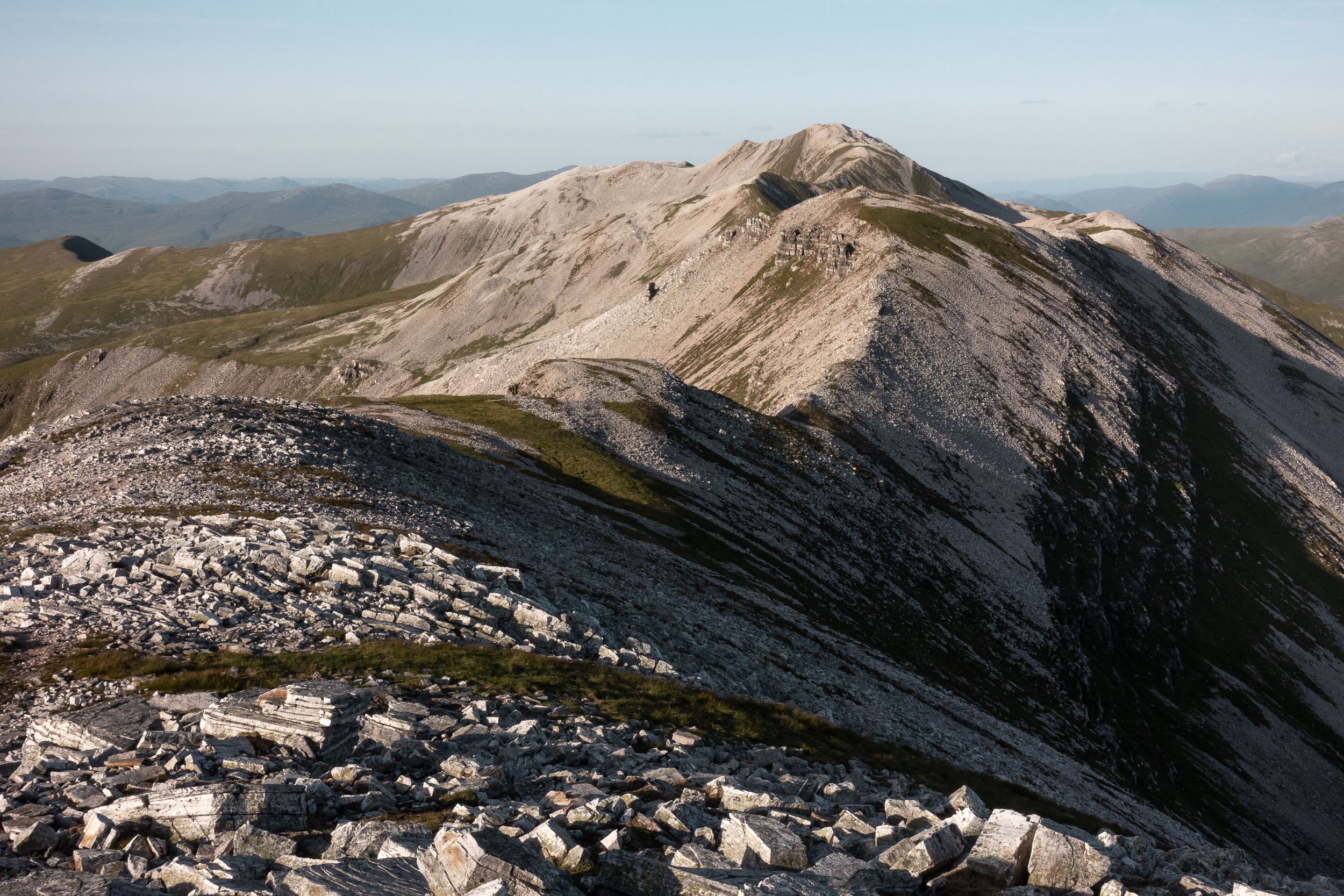
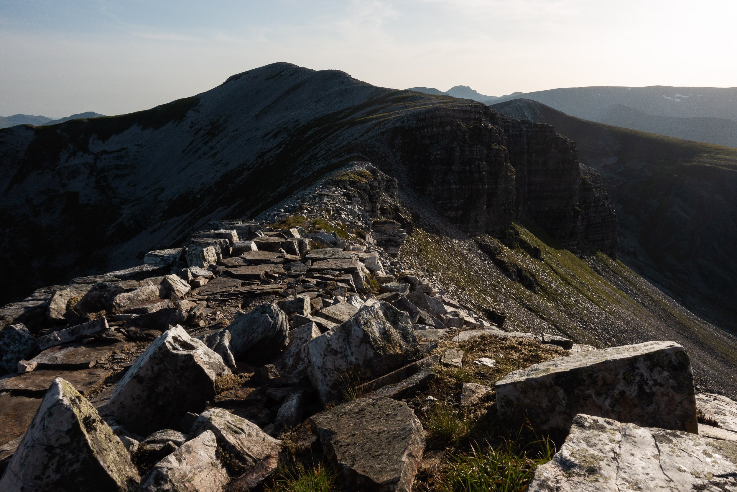


A completed round


A panoramic view of the Lochaber ridges at dawn, which has nearly all of Tranter's Round plus Charlie Ramsay's Round in view